IBM and NASA have introduced Prithvi-EO 2.0, their latest geospatial AI foundation model, designed to transform raw satellite data into actionable insights. With expanded capabilities and a sixfold increase in size, Prithvi-EO 2.0 marks a significant advancement in environmental monitoring and climate science.
Key Points:
- Six times larger: Prithvi-EO 2.0 boasts 600 million parameters, making it the largest open-source geospatial model of its kind.
- Enhanced performance: It outperforms its predecessor by 8% on GEO-bench tasks, excelling in classifying and segmenting satellite imagery.
- Broad applicability: From deforestation monitoring in the Amazon to flood mapping in Spain, Prithvi-EO 2.0 addresses diverse climate challenges.
- Open and accessible: Available on Hugging Face and IBM’s TerraTorch toolkit, the model promotes collaboration and innovation in climate science.
When IBM and NASA launched the first version of Prithvi (Sanskrit for "Earth") in September, it was already pushing boundaries in satellite image analysis. Now, its successor is taking things to a whole new level. Trained on 4.2 million data points from NASA's Harmonized Landsat and Sentinel dataset, Prithvi-EO-2.0 can transform raw satellite data into detailed pictures of Earth's changing landscape with remarkable accuracy.
"Prithvi 2.0 can now better capture long-term processes season-by-season, and also assimilate high-resolution information," explains Paolo Fraccaro, the IBM researcher who led the development team. This means the model can track subtle changes in vegetation, detect urban development, and monitor natural disasters with unprecedented detail.
The model's capabilities were recently put to the test in three diverse scenarios.
- In the Bolivian Amazon, it tracked deforestation by estimating tree canopy height from satellite images.
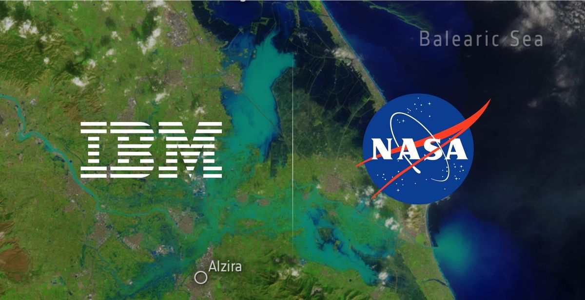
- In Spain's Valencia region, it pierced through cloud cover to map devastating flash floods that claimed over 200 lives in October 2024.
- In Baltimore, it created detailed heat maps showing how urban areas trap heat differently than leafy suburbs—crucial information for public health and urban planning.
What makes Prithvi 2.0 particularly special is its ability to learn from both space and time patterns in satellite data. The model can now better understand seasonal changes and long-term trends while maintaining sharp focus on spatial details. This dual capability helps it generate more accurate and nuanced environmental analyses.
Why It Matters: As climate change accelerates, tools like Prithvi-EO 2.0 provide the scientific community with critical capabilities to monitor and mitigate its effects. The open-source model not only democratizes access to advanced geospatial AI but also exemplifies the power of cross-institutional collaboration.
What’s Next: IBM and NASA hope the open release of Prithvi-EO 2.0 will inspire further innovation, encouraging global researchers to fine-tune the model for applications ranging from biodiversity studies to renewable energy planning.
Bottom line: By turning satellite data into actionable insights, Prithvi-EO 2.0 underscores the potential of AI to help us better understand and protect our planet.